

|
|
Time to read 6 min
|
|
Time to read 6 min
The road from Broome to Cygnet Bay is sealed the whole way. The last 90 kilometres of the Broome–Cape Leveque Road went to bitumen in 2020, and a fair bit of the advice still floating around hasn't caught up. It's about 200km and two and a half to three hours to the top of the Dampier Peninsula, and the only dirt most people meet is the three-kilometre station driveway at the end, which has water-diversion humps across it and is fine taken slowly.
That matters, because the Kimberley has a reputation that sends people in either over-prepared for the wrong things or underprepared for the real ones. The real ones are animals, corrugations, and the distance between fuel stops.
Station people on the Peninsula will tell you to watch for donkeys before dawn, and they aren’t being colourful. Feral donkeys have been in the Kimberley since the 1930s and decades of culling haven’t cleared them out. The catch isn’t their eyes — a donkey reflects a headlight much as cattle do. It’s that a grazing animal standing side-on with its head down returns no eyeshine at all, and a dull grey-brown donkey against grey gravel in half light is close to invisible until you are on top of it. Cattle roam unfenced across a lot of this country and will happily stand on warm bitumen after dark.
So the single most useful decision you can make is this: don't drive between dusk and dawn. That isn't caution for its own sake. It removes most of the risk from a Kimberley trip in one move. If you are caught out, drop well below the limit and accept that you'll arrive late.
When something does step out, brake hard and straight — don't swerve. An animal that's already moving will often move the same way you do, and a swerve at speed on gravel is how a vehicle ends up on its roof. Hitting a beast at 40km/h in a straight line is survivable. Rolling at 80 is a different day entirely.
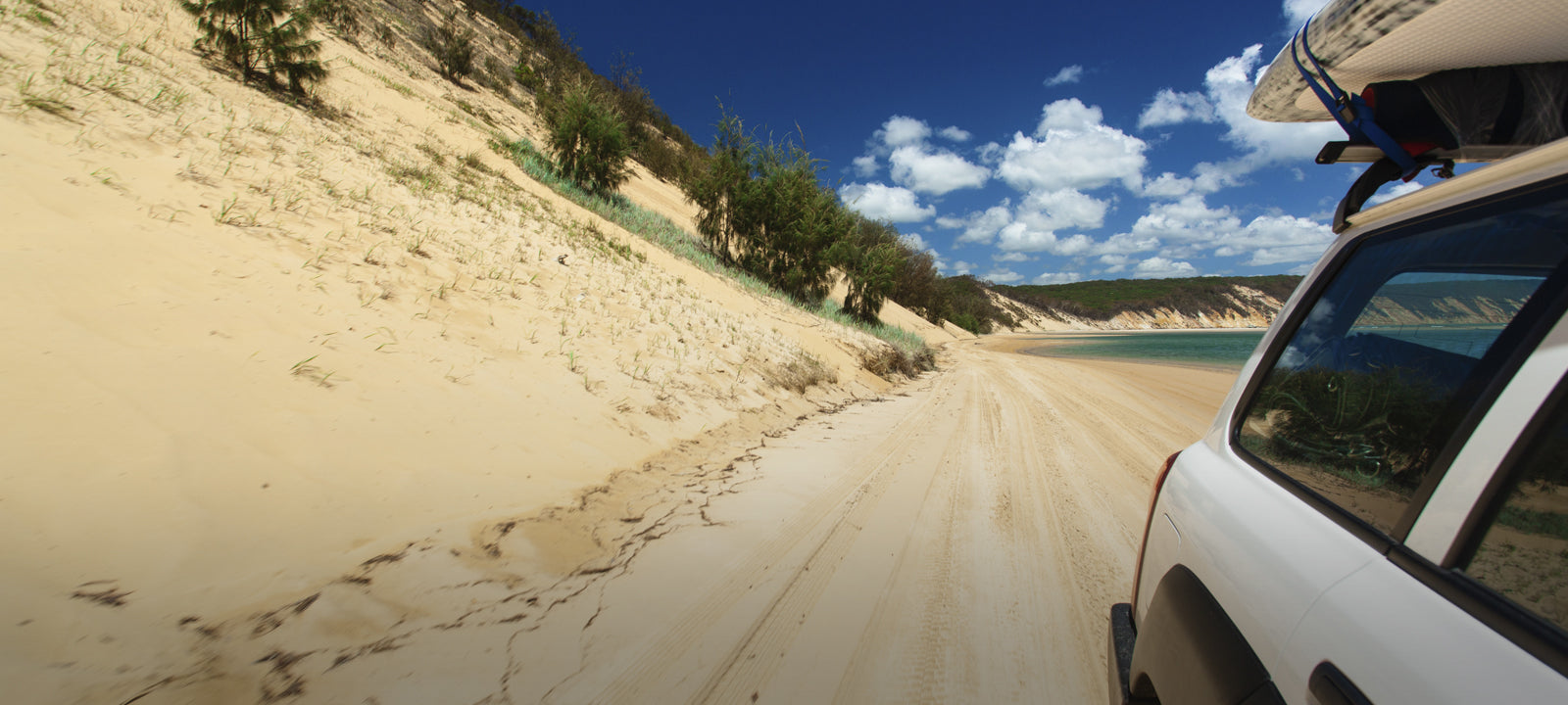
The Gibb River Road is 647 kilometres, mostly unsealed, and Main Roads grades it three or four times a year. A full pass can take up to two months, by which time the far end has shaken apart again — so the surface you get is a lottery, and corrugations are the constant.
Corrugations aren't technically difficult. They're just relentless, and they destroy things.
There's a tyre and mechanical shop on the Gibb at Mount Barnett that has been patching travellers up since 1999. Knowing it's there is good. Planning around it is not.
Before you leave, mark your wheel nuts and key suspension bolts with a paint pen. Thirty seconds walking around the vehicle each morning tells you what's backing out, and corrugations back things out. A spares kit that covers belts, hoses and a few fasteners is worth its space.
Fuel stops run 150–250km apart and can run dry in peak season. Availability beats price out here — top up at every station whether you need it or not.
| What | Plan on | Why |
|---|---|---|
| Fuel use, bitumen | 16–18L/100km | Loaded touring 4WD |
| Fuel use, off-road | 20–22L/100km | Soft surfaces and low range cost you |
| Fuel stop spacing | 150–250km | And stations do run out in season |
| Drinking water | 4–5L per person per day | Minimum, before any hiking |
| Water if free camping | closer to 10L per person per day | Washing up comes out of the same tank |
| Tyre pressure, corrugations | 30–34psi cold | Adjust for load; lower for sand |
Don't plan a leg on your best-ever fuel figure. Work on the worst one you've seen loaded, then add a fifth.
Most Gibb crossings are shallow in the dry and many now have concrete bases. After rain, none of that is true.
If you can't walk it, don't drive it. Walking a crossing shows you the depth, the base and the holes. On the Pentecost, walking it isn't an option — that's saltwater crocodile country, and there is one watching whether you can see it or not. If you're unsure, wait. Someone will come along, and watching another vehicle cross tells you far more than a guess from the bank.
A snorkel stops water reaching your engine. It does nothing about moving water shoving two tonnes of vehicle sideways. Low range, steady, no bow wave.
Assume no mobile coverage the moment you leave the highway. Build it in layers instead.
UHF on its own will not save you. A beacon on its own can't tell anyone what's wrong. Carry both.
The Kimberley effectively closes from November to April. The Gibb usually opens in full in early May; some sections start closing as early as September, and most are shut by late October. Early in the dry the road can be open while the gorges and campgrounds still aren't.
Two sources are worth more than any forum post. Main Roads WA for road closures and conditions, and alerts.dbca.wa.gov.au for park and campground status. Check both before you leave, then ask again at each station — they have the local picture before the websites do.
No permit is needed for the Broome–Cape Leveque Road itself; it's a public road. The communities — Beagle Bay, Lombadina, Ardyaloon — charge a small access fee or day pass, paid at the community office when you arrive.
There is no free camping anywhere on the Dampier Peninsula, and bookings are essential. Turning up on spec at the top of the Peninsula with nowhere booked is a very long drive back.
Stay with the vehicle. It's shade, it's water storage, and it's far easier to spot from the air than you are.
The convention out there is a thumbs-up from a passing driver. It means are you right? Thumbs up back and they'll keep going; anything else and they'll stop. Nobody drives past a vehicle in trouble in the Kimberley. As one guide put it, the further apart people live, the closer they are.
Animals. Feral donkeys have been there since the 1930s, and a grazing animal standing side-on with its head down returns no eyeshine at all. A grey-brown donkey against grey gravel in half light is close to invisible. Cattle roam unfenced and stand on warm bitumen after dark.
All-terrain tyres with a light-truck carcass. Highway tyres have thin sidewalls and sharp shale finds them, and sidewall cuts rather than punctures are what strand people. Run around 30 to 34psi cold on corrugations, set first thing, lower for sand, higher if heavy or towing. Reinflate on bitumen.
Budget 16 to 18 litres per 100km on bitumen in a loaded touring 4WD, and 20 to 22 off-road. Fuel stops run 150 to 250km apart and can run dry in peak season, so top up at every station. Allow 4 to 5 litres of drinking water per person per day.
Search thousands of campsites across every state and territory — free, with no booking fees.
Explore All Campsites →Chat didn’t load. Call 03 4420 9183 or email contact@campingaustralia.com.au.