


Lower Peppermint Campground
Lower Peppermint Campground

About this campsite
What this place offers
Amenities
Location
Lower Peppermint Campground•CA
Weather Forecast
Data from MET NorwayCommon questions about Lower Peppermint Campground
What facilities does Lower Peppermint Campground have?
Lower Peppermint Campground has drinking water. Facilities at camps change, particularly after a wet season, so check the operator or the managing authority if one of them decides your trip. The list comes from the site record rather than a visit, so treat it as a guide.
Can you book Lower Peppermint Campground online?
We hold no online booking link for Lower Peppermint Campground, so it is not bookable through this page. Many parks and showgrounds still require a booking, so contact the operator before you go. Their website or phone number is the fastest way to confirm a site.
Where is Lower Peppermint Campground?
Lower Peppermint Campground sits in CA. The map on this page shows the exact spot, and the coordinates travel straight into your navigation app. Check road conditions before you set out if you are towing, since access tracks can change with the weather.
Facilities at Lower Peppermint Campground
| Facility | On site |
|---|---|
| Drinking Water | Yes |
Nearby Campsites
 7.7 km away
CA
QUAKING ASPEN CABIN
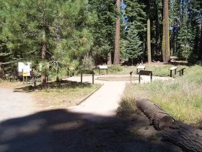
Overview Quaking Aspen Cabin is situated in the Sequoia National Forest, about an hour from Springville, California. The cabin was originally built in the 1930s by the Civilian Conservation Corps and was used by the Forest Service to house fire patrol, recreation workers and other personnel. Located just inside Quaking Aspen Campground, the cabin is available to rent from mid-May through mid-October. Recreation Nearby activities include horseback riding, mountain biking, hiking, rock climbing, hunting and fishing. Visitors enjoy exploring surrounding sequoia groves. Bear Creek Grove has a trail that winds through the Belknap Complex along Bear Creek and the Tule River. The nearby Freeman Creek Grove is a 1,425-acres unlogged grove featuring several large sequoias, including the President George Bush Tree. There is fishing in area streams and the Tule River. The Summit Trailhead, about 10 miles north of the campground, offers access to excellent hiking. The Trail of 100 Giants is 10 miles away. Possible day trips include Dome Rock and the Needles rock formation. There is also an amphitheater near the cabin where interpretive programs hosted by the Forest Service are held periodically during the summer. Facilities The one-bedroom, one-story cabin has electricity, hot and cold running water and a furnace for cool days and nights. The bedroom contains a queen-size bed and a bunk bed. The living room has a futon that sleeps two, as well as a couch and a dining table with six chairs. The fully-equipped kitchen includes a stove, refrigerator, microwave, toaster, coffee maker, pots and pans, dishes and utensils and a small table. The cabin also has a bathroom with a flush toilet and a tub-shower. A picnic table and campfire ring are available outside. Guests should plan to bring linens, pillows, blankets, towels, toiletries, food and trash bags. Suggested additional items include toilet paper, paper towels, camp chairs, insect repellent and dish towels. Natural Features The cabin is located in the Giant Sequoia National Monument, just a few miles from several groves of Giant Sequoias. Other nearby points of interest include the Needles Lookout, Dome Rock and Trail of 100 Giants. Because the cabin is located at a 7,000 foot elevation, visitors need to be prepared for a wide variety of weather, including warm afternoons, chilly nights and afternoon thunderstorms. It is also not unusual to have an early fall dusting of snow before the cabin closes for the season. Contact Info For facility specific information, please call (661) 455-6010.
 7.7 km away
CA
QUAKING ASPEN
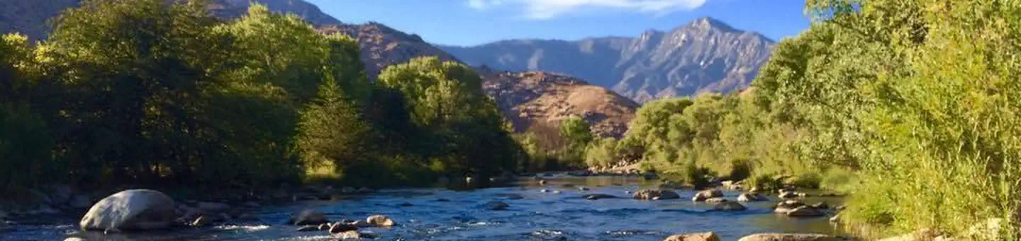
Overview Quaking Aspen Campground is situated in the Giant Sequoia National Monument near numerous distinctive sequoia groves, including McIntyre Grove and Freeman Creek Grove, at an elevation of 7,000 feet. Recreation Visitors can explore nearby sequoia groves. Bear Creek Grove has a trail that winds through the Belknap Complex along Bear Creek and the Tule River. The Freeman Creek Grove is also a popular destination. At 1,425 acres, this immense unlogged grove features several large sequoias, including the President George Bush Tree. There is fishing in area streams and the Tule River. For hiking, the Summit Trailhead is 10 miles north of the campground. Facilities This popular campground includes three small group sites that accommodate up to 12 people per campsite, 30 standard sites, two cabin sites and four tent-only sites. Some sites overlook a meadow. An amphitheater, vault toilets and picnic areas are provided. Please note, there is limited turnaround space in this campground, restricting RVs longer than 26 feet in length. This facility is operated by Rocky Mountain Recreation Company, a division of ExplorUS and comments are welcome; comment forms are available from campground hosts or online. Natural Features The Sequoia National Forest, located at the southern end of the Sierra Nevada in central California, takes its name from the giant sequoia, the world's largest tree, which grows in more than 30 groves on the Forest's lower slopes. The Forest comprises about 1.1 million acres, and elevations range from about 1,000 to 12,000 feet, creating precipitous canyons and mountain streams with spectacular waterfalls such as Salmon Creek Falls and Grizzly Falls. Nearby Attractions The Trail of 100 Giants is 10 miles away. Possible day trips include Dome Rock and the Needles rock formation and lookout. Contact Info For facility specific information, please call (661) 455-6010.
 11.6 km away
CA
LIMESTONE CAMPGROUND
Overview Limestone Campground sits in an area dotted with oak and gray pine along the Upper Kern River, a designated Wild and Scenic River, at an elevation of 3,500 feet. Recreation Whitewater rafting and kayaking on the Upper Kern River are popular activities. To learn more about the Upper Kern River, including safety and permitting requirements and a listing of local outfitters, visit the Sequoia National Forest’s overview of the area. Facilities The campground, located 16 miles north of Kernville, has 19 paved sites. Picnic areas, vault toilets are provided. Natural Features The Sequoia National Forest, located at the southern end of the Sierra Nevada in central California, takes its name from the giant sequoia, the world's largest tree, which grows in more than 30 groves on the forest's lower slopes. The forest comprises about 1.1 million acres, and elevations range from about 1,000 to 12,000 feet creating precipitous canyons and mountain streams with spectacular waterfalls such as Salmon Creek Falls and Grizzly Falls. At various points along the river, gray pines, scrub oaks, grass and dry climate shrubs cling to steep canyon walls, while cottonwoods and willows line the water's edge. Nearby Attractions The campground provides a good base for day trips to the Sequoia National Park Trail of 100 Giants. The Giant Sequoia Mercantile offers a wide variety of books, maps, gifts, local art, camping supplies and other merchandise. Contact Info For facility specific information, please call (760) 376-1269.
 12.7 km away
CA
LONG MEADOW GROUP
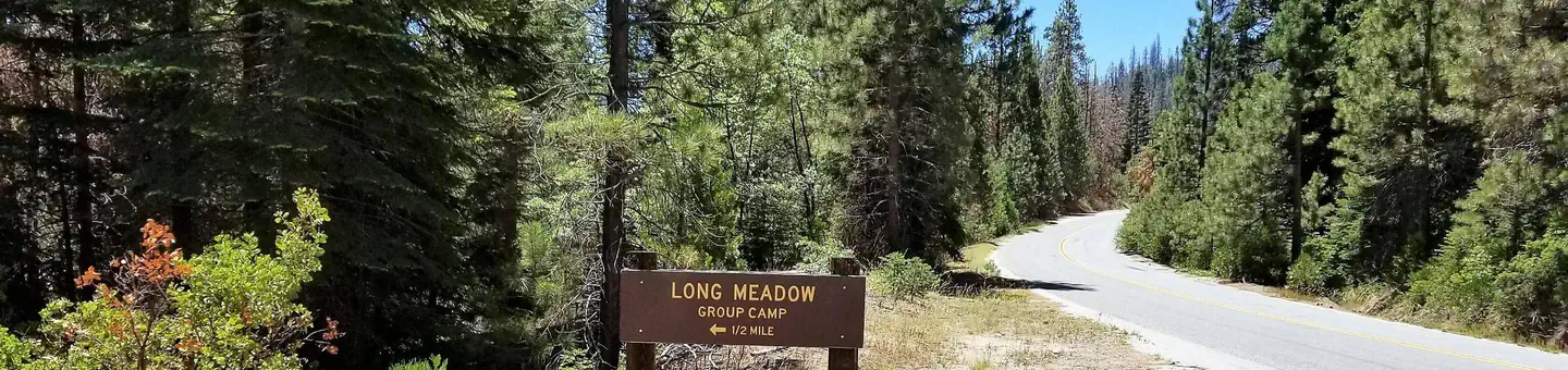
Overview Long Meadow Group Campground is a remote facility within Sequoia National Forest, in the southern portion of Giant Sequoia National Monument. The area is named for the giant sequoia, the world's largest tree, which grows in more than 30 groves on the forest's lower slopes. Recreation Touring the Sequoia National Monument is the area's most popular activity. Hikers enjoy the Trail of a Hundred Giants as it wanders through the Long Meadow Giant Sequoia Grove. Other points of interest within the southern section include the Belknap Grove and the Freeman Grove The northern portion of the monument is a short drive away, where visitors can view the Boole Tree, which is the largest tree on the National Forest system. Indian Basin Grove is also located in this area. Facilities The group campground is configured for up to 36 people and up to 5 vehicles. No hookups are available. Vault toilets are provided. This is a remote facility with no nearby conveniences. Natural Features Sequoia National Forest comprises about 1.1 million acres. Elevations range from about 1,000 to 12,000 feet, creating precipitous canyons and mountain streams with spectacular waterfalls such as Salmon Creek Falls and Grizzly Falls. The campground sits at an elevation of 6,400 feet, near trails that wind through giant sequoia groves, climb up mountains and meander along wild rivers. Contact Info For facility specific information, please call (661) 455-6010. Nearby Attractions Sequoia National Monument offers numerous hiking trails through scenic sequoia groves. The Giant Sequoia Mercantile offers a wide variety of books, maps, gifts, local art, camping supplies and other merchandise that will serve to make trips to the monument more memorable.
 12.9 km away
CA
BELKNAP
Overview Belknap Campground, elevation 4,800 feet, is located east of Porterville, CA off state highway 190 in the Giant Sequoia National Monument in the Western Divide Ranger District. It sits within the Belknap and McIntyre giant sequoia groves. Recreation Trails in the monument are open to hikers, horseback riders and bikers. The trails wind through giant sequoia groves, up mountains and alongside wild rivers. A hiking trail also starts within the campground, leading into the sequoia grove, with fishing in Tule River along the way. Facilities Belknap offers about 13 tent camping sites that can accommodate up to 6 guests each. Vault toilets, campfire rings and picnic areas are all provided. Natural Features The Sequoia National Forest, located at the southern end of the Sierra Nevada in central California, takes its name from the giant sequoia, the world's largest tree, which grows in more than 30 groves on the Forest's lower slopes. The Forest comprises about 1.1 million acres, and elevations range from about 1,000 to 12,000 feet, creating precipitous canyons and mountain streams with spectacular waterfalls, such as Salmon Creek Falls near Fairview and Grizzly Falls on the Kings River. Contact Info For facility specific information, please call (661) 455-6010.
 Britz HiTopCampervan
 Maui UltimaCampervan
 Jucy CoasterCampervan
Hitting the road? Rent the rig, not just the gear.
Compare live prices across Britz, Maui, Apollo, Jucy & more — campervans and motorhomes, one-way hires included.
Compare & bookPlan your visit
Save it, check the weather, map your route
Nearby Fuel
Campsite Explorer
Find Your Next Campsite


Share Your Experience
Help fellow campers by sharing your photos and reviews.
Own This Campsite?
Claim your listing to manage information, respond to reviews, and update details.