

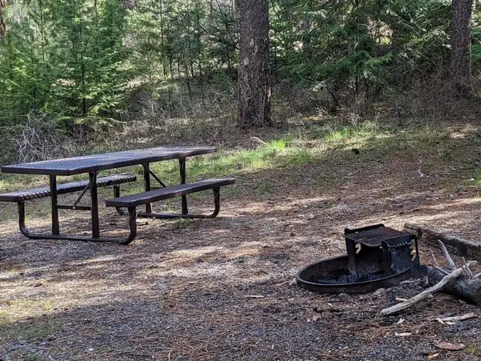
Poverty Flat
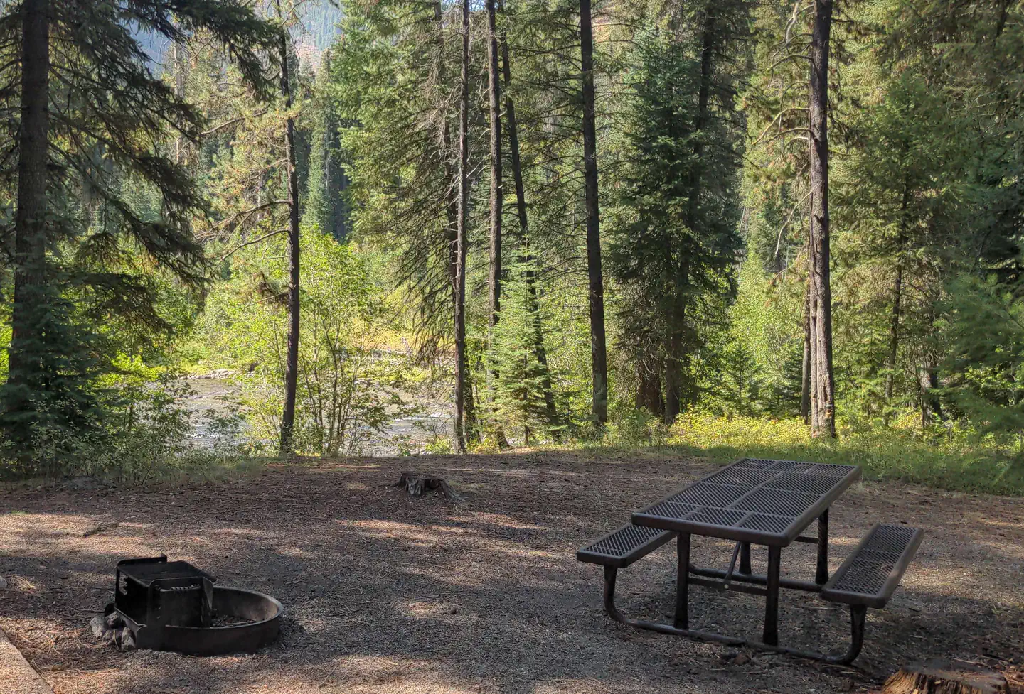
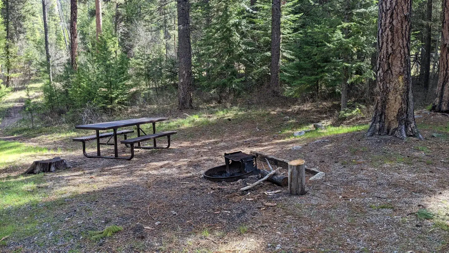
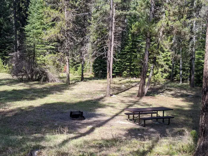
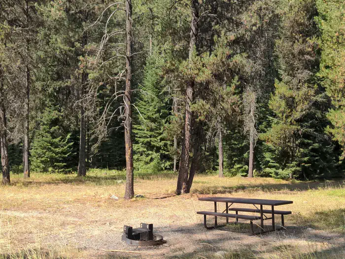
Poverty Flat
About this campsite
Overview
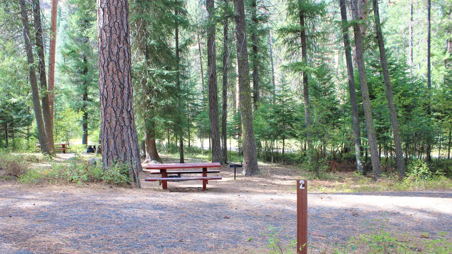
Located along side the South Fork Salmon River, this paved campground offers 10 campsites, including 4 walk in tent sites.
This location is available on a first-come, first-served basis only. Visitors are required to physically arrive at the campground to purchase and claim a site. Once on-site, you may be able to pay for your campsite(s) by scanning a QR code using the Recreation.gov mobile app, and the Scan and Pay feature.
If this option is available, you will need to first download the free Recreation.gov mobile app https://www.recreation.gov/mobile-app prior to your arrival as some remote areas have limited or no cellular service.
Recreation
The campground serves as take-out for those floating the South Fork of the Salmon River from Goat Creek. Serves as the trailhead for an extensive trail system. Many loop hikes are possible from here, of varying lengths and difficulties. Open to those on foot, horses, mountain bikes, and trail bikes. Fishing in the river.
Facilities
Fire rings, hitching rails, toilet, drinking water, pack in/pack out. Please pack out all your trash. No hook-ups.
Nearby Attractions
The South Fork of the Salmon River is a highly popular area of the Forest and is one of the earlier areas to be snow-free in the spring. Several campgrounds and dispersed campsites can be found along the South Fork Road (FS Rd #674). The southern-most 7 miles of the South Fork Road are on the Boise National Forest.
Location
Poverty Flat•ID
Weather Forecast
Data from MET NorwayCommon questions about Poverty Flat
Can you book Poverty Flat online?
We hold no online booking link for Poverty Flat, so it is not bookable through this page. Many parks and showgrounds still require a booking, so contact the operator before you go. Their website or phone number is the fastest way to confirm a site.
Where is Poverty Flat?
Poverty Flat sits in ID. The map on this page shows the exact spot, and the coordinates travel straight into your navigation app. Check road conditions before you set out if you are towing, since access tracks can change with the weather.
Nearby Campsites
 4.4 km away
ID
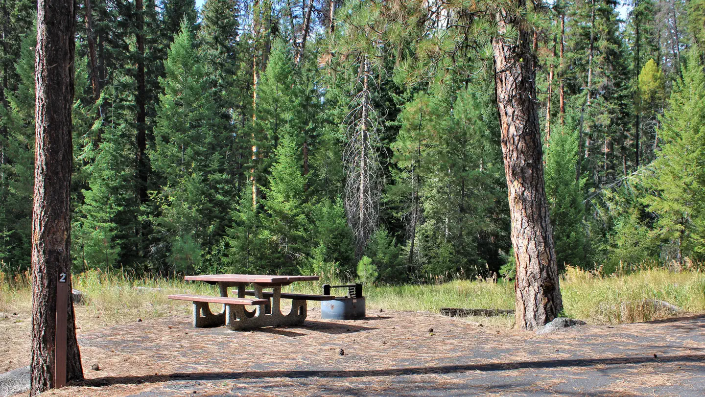
Four Mile
Overview Located along side the South Fork Salmon River, these 4 campsites offer access to an extensive trail system. This location is available on a first-come, first-served basis only. Visitors are required to physically arrive at the campground to purchase and claim a site. Once on-site, you may be able to pay for your campsite(s) by scanning a QR code using the Recreation.gov mobile app, and the Scan and Pay feature. If this option is available, you will need to first download the free Recreation.gov mobile app ht tps://www.recreation.gov/mobile-app prior to your arrival as some remote areas have limited or no cellular service. Recreation Trails provide access for both motorized and non-motorized recreation. Visitors enjoy fishing in the South Fork of the Salmon River. Facilities Four Mile Campground is a small campgroud with 4 campsites and a vault toilet. The campground is equipped with a stock ramp and hitching rack. Nearby Attractions The South Fork of the Salmon River is a highly popular area of the Forest and is one of the earlier areas to be snow-free in the spring. Several campgrounds and dispersed campsites can be found along the South Fork Road (FS Rd #674). The southern-most 7 miles of the South Fork Road are on the Boise National Forest.
 7.4 km away
ID
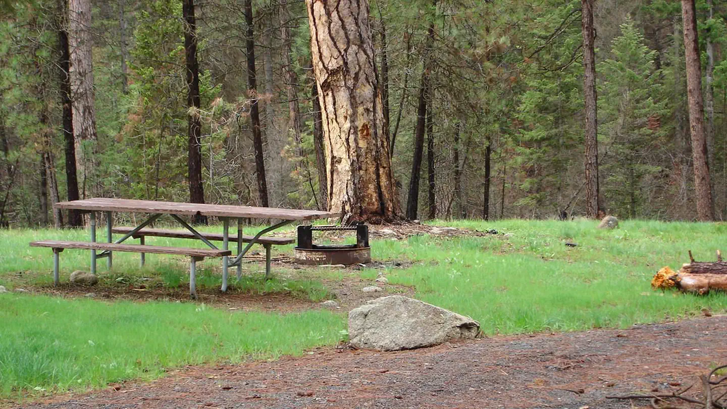
Camp Creek
Overview This small campground (4 sites) on the South Fork Road is a hub for the nearby network of trails. Explore these ruggedly beautiful mountains in almost any direction, or try your luck fishing in the South Fork of the Salmon River. This location is available on a first-come, first-served basis only. Visitors are required to physically arrive at the campground to purchase and claim a site. Once on-site, you may be able to pay for your campsite(s) by scanning a QR code using the Recreation.gov mobile app, and the Scan and Pay feature. If this option is available, you will need to first download the free Recreation.gov mobile app https://www.recreation.gov/mobile-app prior to your arrival as some remote areas have limited or no cellular service. Recreation Camp Creek Trailhead is located at this site and is the starting point for the Pheobe Meadow Trail #291 which access Phoebe Meadows. Facilities The campground is equipped with a stock loading ramp and hitching rack. There are four campground units with tables, and fire rings. The campground has an outhouse and hiking trail access. No drinking water, no hook-ups. Please pack in/pack out. Nearby Attractions Camp Creek Campground is near the Reed Ranch airstrip or twelve miles south of the confluence of the East Fork of the South Fork of the Salmon and the South Fork Road.
 12.5 km away
ID
Penny Spring Campground
Campground: Penny Spring Campground.
 12.8 km away
ID
Buckhorn Bar
Overview Located alongside the South Fork Salmon River, Buckhorn Bar Campground has 9 campsites, and an additional four walk-in, tent only sites. This location is available on a first-come, first-served basis only. Visitors are required to physically arrive at the campground to purchase and claim a site. Once on-site, you may be able to pay for your campsite(s) by scanning a QR code using the Recreation.gov mobile app, and the Scan and Pay feature. If this option is available, you will need to first download the free Recreation.gov mobile app https://www.recreation.gov/mobile-app prior to your arrival as some remote areas have limited or no cellular service. Recreation Fishing and rafting in the South Fork of the Salmon River. Facilities There are nine campground units, four walk-in sites with tables, fire rings, grills, handicapped accessible toilets and drinking water.
 14.5 km away
ID
Kennally Creek
Overview Kennally Creek Campground is situated in a serene setting among mature forest along the banks of Kennally Creek. This location is available on a first-come, first-served basis only. Visitors are required to physically arrive at the campground to purchase and claim a site. Once on-site, you may be able to pay for your campsite(s) by scanning a QR code using the Recreation.gov mobile app, and the Scan and Pay feature. If this option is available, you will need to first download the free Recreation.gov mobile app ht tps://www.recreation.gov/mobile-app prior to your arrival as some remote areas have limited or no cellular service. Recreation The North Fork Kennally Creek Trail #102, East Fork Kennally Creek Trail #099, and the Needles Summit Trail #101 depart immediately from the campground with additional trail access just a few miles down the road. Facilities Each of 11 sites include a fire ring and picnic table. A stock loading ramp and hitching rails are available at the site. Potable water is typically available June - September.
 Britz HiTopCampervan
 Maui UltimaCampervan
 Jucy CoasterCampervan
Hitting the road? Rent the rig, not just the gear.
Compare live prices across Britz, Maui, Apollo, Jucy & more — campervans and motorhomes, one-way hires included.
Compare & bookPlan your visit
Save it, check the weather, map your route
Nearby Fuel
Campsite Explorer
Find Your Next Campsite
Share Your Experience
Help fellow campers by sharing your photos and reviews.
Own This Campsite?
Claim your listing to manage information, respond to reviews, and update details.