

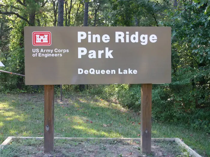
Pine Ridge
Pine Ridge
About this campsite
Overview
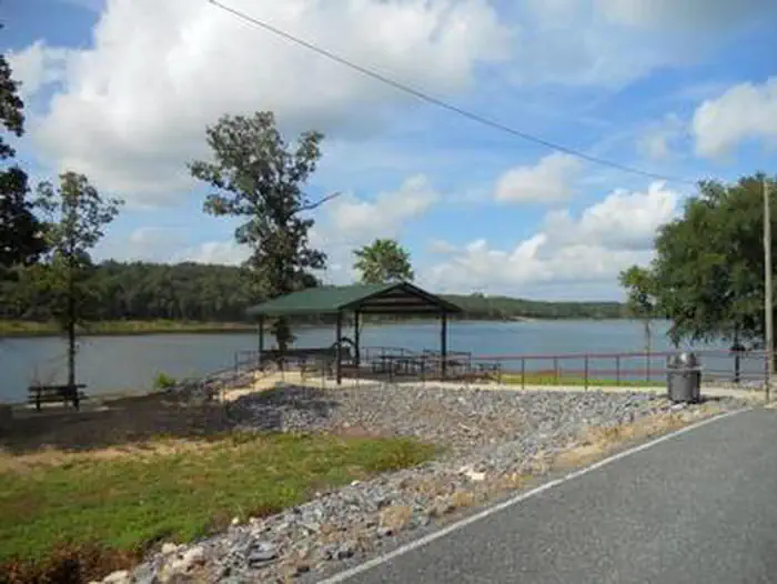
Pine Ridge Campground sits along the shores of DeQueen Lake in southwest Arkansas.Recreation
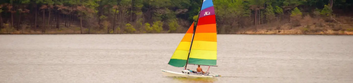
Boating and water sports top the list of recreational actives at the lake, and several boat ramps are provided for campers.Fishing is also a popular pastime, with large mouth bass, small mouth bass, spotted pass, black and white crappie, channel and flathead catfish and various species of sunfish available in abundance. The Arkansas Game and Fish Commission have also stocked hybrid striped bass in the lake.
There are plenty of opportunities for hunting on the lands around the lake. Except for developed recreation areas and lands in the vicinity of the dam, all project lands are open to the public for hunting. Game species include bobwhite quail, mourning dove, turkey, fox squirrel, gray squirrel, cottontail rabbit and deer.
Although DeQueen Lake does not have a designated hiking trail, the vast expanse of land is open to the public and hiking activities are welcomed anywhere on project lands.
Facilities
Pine Ridge Campground offers 35 spacious campsites, along with one large reservable group picnic shelter. Campsites include modern amenities like flush toilets, showers and drinking water.
Natural Features
DeQueen Lake is part of a dam project located on the Rolling Fork River. The dam, completed in 1977, was built for flood control and water supply, and now provides a recreational oasis for thousands of campers each year.The lake boasts 32 miles of shoreline to its visitors, along with 8,700 acres of rolling green landscape.
Nearby Attractions
The nearby town of DeQueen, Arkansas, offers gas, grocery and medical services.Location
PINE RIDGE•AR
Weather Forecast
Data from MET NorwayCommon questions about PINE RIDGE
Can you book PINE RIDGE online?
We hold no online booking link for PINE RIDGE, so it is not bookable through this page. Many parks and showgrounds still require a booking, so contact the operator before you go. Their website or phone number is the fastest way to confirm a site.
Where is PINE RIDGE?
PINE RIDGE sits in AR. The map on this page shows the exact spot, and the coordinates travel straight into your navigation app. Check road conditions before you set out if you are towing, since access tracks can change with the weather.
Nearby Campsites
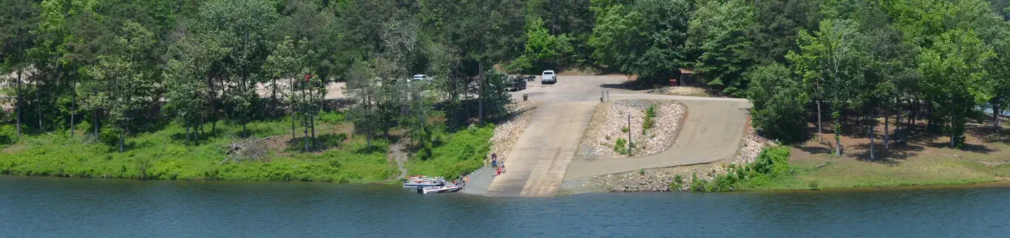 1.9 km away
AR
Oak Grove (AR)
Overview Oak Grove Campground sits along the shores of DeQueen Lake in southwest Arkansas. Recreation Boating and water sports top the list of recreational actives at the lake, and several boat ramps are provided for campers. Fishing is also a popular pastime, with large mouth bass, small mouth bass, spotted pass, black and white crappie, channel and flathead catfish and various species of sunfish available in abundance. The lake has a WMA where hunting is allowed. Except for developed recreation areas and lands in the vicinity of the dam. Game species include bobwhite quail, mourning dove, turkey, fox squirrel, gray squirrel, cottontail rabbit and deer. You can find more information at the Arkansas Game and Fish website. De Queen Lake has one designated hiking/biking trail, the trail is a little over 3 miles inside Pine Ridge Park. The trail was built to IMBA standards. Facilities Oak Grove Campground offers 36 spacious campsites, along with one large reservable group picnic shelter. Campsites include modern amenities like flush toilets, showers and drinking water. Natural Features DeQueen Lake is part of a dam project located on the Rolling Fork River. The dam, completed in 1977, was built for flood control and water supply, and now provides a recreational oasis for thousands of campers each year. The lake boasts 32 miles of shoreline to its visitors, along with 8,700 acres of rolling green landscape. Nearby Attractions The nearby town of DeQueen, Arkansas, offers gas, grocery and medical services.
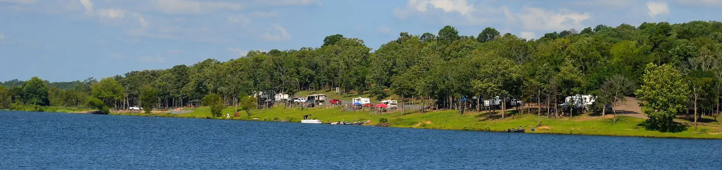 3.5 km away
AR
BELLAH MINE
Overview Bellah Mine Campground sits along the shores of DeQueen Lake in southwest Arkansas. Recreation Boating and water sports top the list of recreational activities at the lake, and several boat ramps are provided for campers. Fishing is also a popular pastime, with large mouth bass, small mouth bass, spotted pass, black and white crappie, channel and flathead catfish and various species of sunfish available in abundance. The lake also has a WMA to allow hunting on the lands around the lake. Except for developed recreation areas and lands in the vicinity of the dam. Game species include bobwhite quail, mourning dove, turkey, fox squirrel, gray squirrel, cottontail rabbit and deer. De Queen Lake does have a designated hiking trail in Pine Ridge Park that is open to the public and hiking/biking activities are welcomed. Facilities Bellah Mine Campground offers 24 spacious campsites, along with one large reservable group picnic shelter. Campsites include modern amenities like flush toilets, showers and drinking water. Natural Features DeQueen Lake is part of a dam project located on the Rolling Fork River. The dam, completed in 1977, was built for flood control and water supply, and now provides a recreational oasis for thousands of campers each year. The lake boasts 32 miles of shoreline to its visitors, along with 8,700 acres of rolling green landscape. Nearby Attractions The nearby town of DeQueen, Arkansas, offers gas, grocery and medical services.
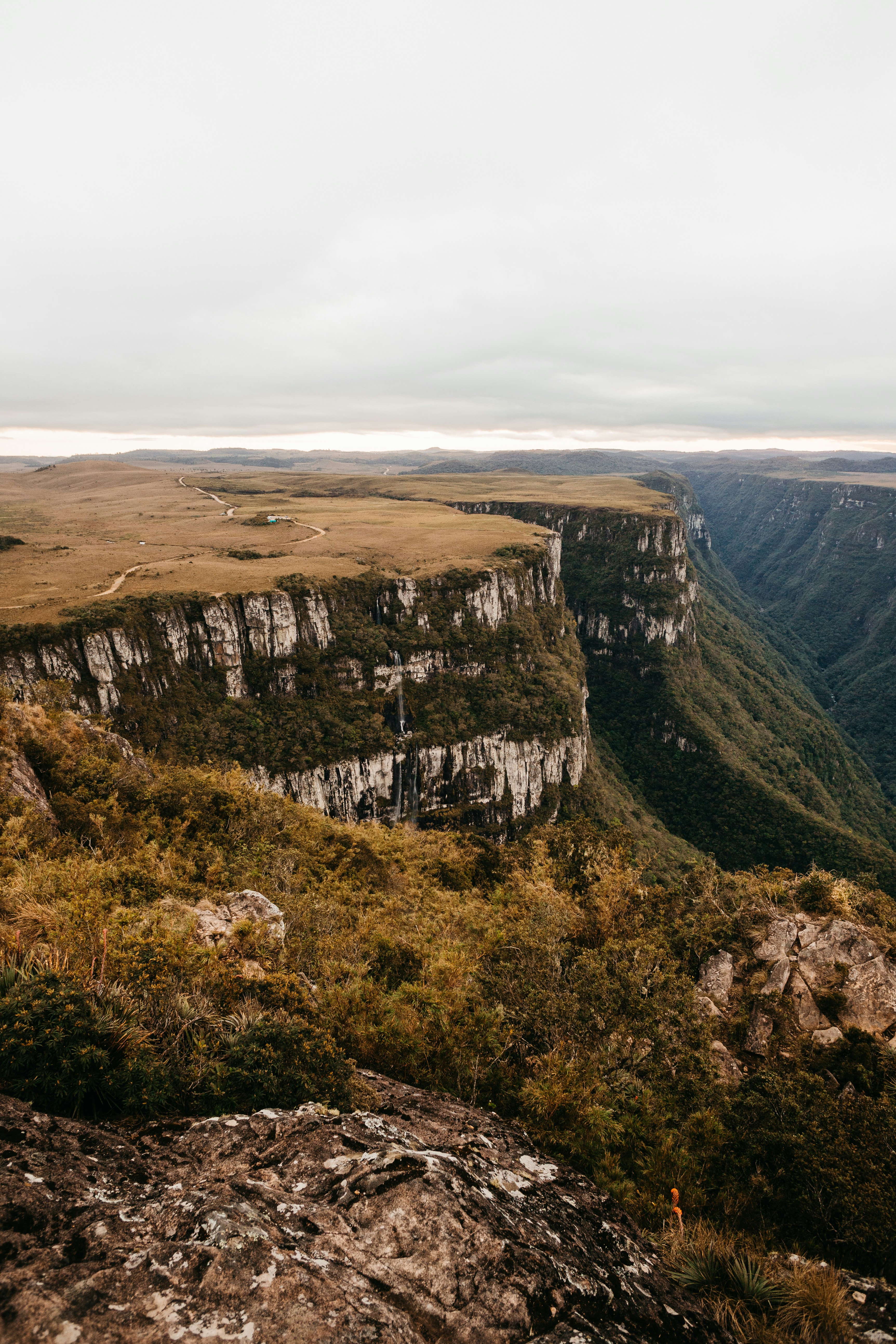 20.2 km away
OK
Mountain Fork Park
Campground: Mountain Fork Park.
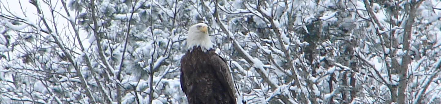 20.8 km away
AR
COSSATOT REEFS
Overview Cossatot Reefs Campground sits along the lush banks of Gillham Lake in southwest Arkansas. Nicknamed the "Bright Spot on the Cossatot," Gillham Lake is a recreational oasis for outdoor enthusiasts. Recreation Visitors enjoy the lake for its vast boating opportunities, and a boat ramp is provided for easy water access. The river can be canoed from a point below the dam to U.S. Highway 71 South, a distance of about 16 miles. For shorter canoe trips, there are access roads to the river at Mize Crossing and Ladd Bridge. Anglers will find smallmouth, largemouth, and spotted bass, crappie, channel and flathead catfish and various species of sunfish in the river. A short nature trail within the campground weaves through a quaint wooded section. In spring, the trail is painted with colorful redbud and dogwood blossoms. Facilities Cossatot Reefs offers 31 shady campsites, including a large group shelter. Hot showers, drinking water and flush toilets help create a comfortable camping experience. Natural Features Gillham Lake spans 1,370 surface acres and boasts 36 miles of shoreline. The lake stems from the Cossatot River, designated as a National Wild and Scenic River.
 21.0 km away
AR
BIG COON CREEK
Overview Big Coon Creek Campground sits along the lush banks of Gillham Lake in southwest Arkansas. Nicknamed the "Bright Spot on the Cossatot," Gillham Lake is a recreational oasis for outdoor enthusiasts. Recreation Visitors enjoy the lake for its vast boating opportunities, and a boat ramp is provided for easy water access. The river can be canoed from a point below the dam to U.S. Highway 71 South, a distance of about 16 miles. For shorter canoe trips, there are access roads to the river at Mize Crossing and Ladd Bridge. Anglers will find smallmouth, largemouth, and spotted bass, saugeye, crappie, channel and flathead catfish and various species of sunfish in the river. Hunting is allowed north of Little Coon Creek Park and on the eastern shore of the lake. Check with the Arkansas Game and Fish for Season Dates, Maps, and Regulations. Facilities Coon Creek provides 32 sites, each with water and 50-amp electric hookups. Additional amenities include hot showers, a boat ramp, swimming beach, dump station and a playground. Natural Features Gillham Lake spans 1,370 surface acres and boasts 36 miles of shoreline. The lake stems from the Cossatot River, designated as a National Wild and Scenic River.
 Britz HiTopCampervan
 Maui UltimaCampervan
 Jucy CoasterCampervan
Hitting the road? Rent the rig, not just the gear.
Compare live prices across Britz, Maui, Apollo, Jucy & more — campervans and motorhomes, one-way hires included.
Compare & bookPlan your visit
Save it, check the weather, map your route
Nearby Fuel
Campsite Explorer
Find Your Next Campsite
Share Your Experience
Help fellow campers by sharing your photos and reviews.
Own This Campsite?
Claim your listing to manage information, respond to reviews, and update details.